Instrument Mentors
Description
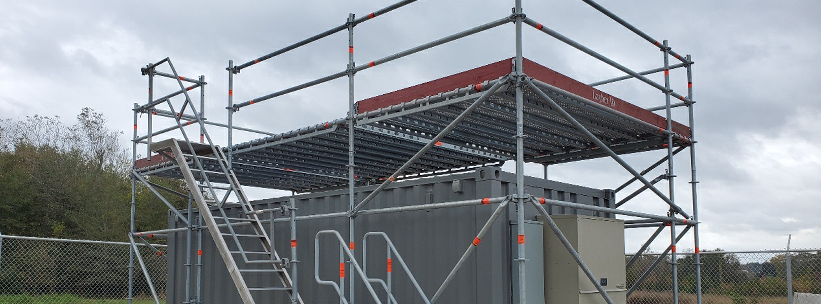
The Houston-UH Liberty Sam Houston Library site is approximately 45 km north-northeast of the mouth of the Houston Ship Channel from the Gulf of Mexico and 70 km northeast of downtown Houston. Despite being located in a suburban/rural area, it is identified as an urban site because prevailing southerly winds often transport urban, petrochemical, industrial, and maritime shipping emissions to the site, resulting in reduced visibility and elevated ozone above the NAAQS. The site is operated by the University of Houston and Baylor University. It is part of the Houston Network of Environmental Towers (HNET) that studies ozone formation and ozone and particulate matter transported into the Houston and Dallas-Forth Worth regions and part of the Black Carbon/Brown Carbon (BC)2 Network that studies regional biomass burning influence. In addition to the ASCENT instrumentation, the UH-Liberty site also has a suite of instruments listed in the table below that measure a wide range of pollutants and meteorological variables.
Complementary Instrumentation
| Parameter | Instrument | Sampling Frequency | Network* |
| O3 | Thermo Scientific 49i | Continuous | H |
| NO/NO2/NOx | Thermo Scientific 42i-TL w/ LED NO2 photocell | Continuous | H |
| CO | Thermo Scientific 48i-TLE | Continuous | H |
| Trace gas columns | NASA Pandora | Continuous | D |
| PM2.5 | Thermo Scientific TEOM 1405 | Continuous | H |
| PM2.5 | Thermo Scientific Partisol 2025i | Daily | H |
| Aerosol light absorption coefficients (PM2.5) | Brechtel tricolor absorption photometer (TAP) | Seasonal Continuous | H |
| Aerosol light scattering coefficients (PM2.5) | Three-wavelength Nephelometer, Aurora 3000 | Seasonal Continuous | H |
| Aerosol optical depth | Cimel | Continuous | O |
| Aerosol profile | MPL | Continuous | L |
| Temperature/Relative Humidity | Vaisala HMP-45c | Continuous | H |
| Wind Direction/Speed | RM Young -05305-L | Continuous | H |
| Barometric Pressure | Vaisala PTB110 | Continuous | H |
| Precipitation | TE 525WS-L | Continuous | H |
*Monitoring Types: H=HNET; D=Pandonia; O=AERONET; L=MPLNet


