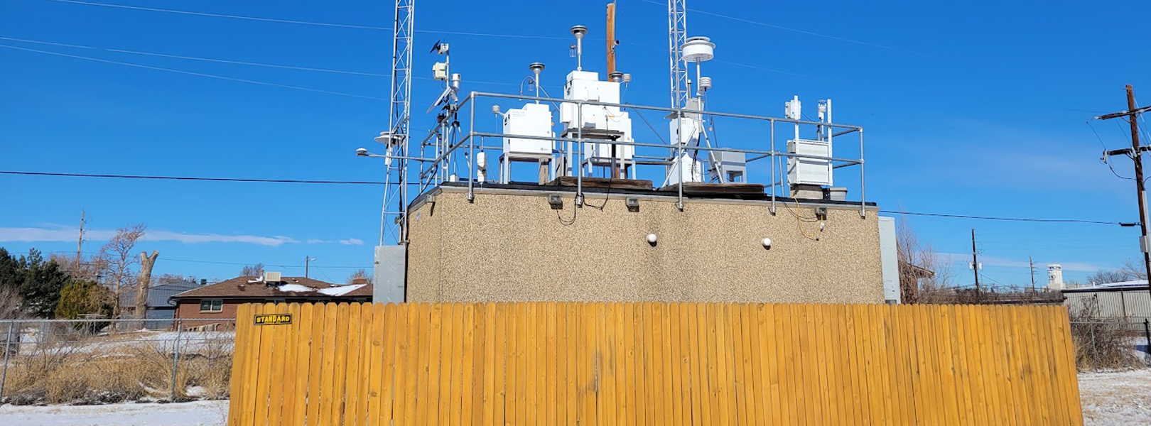
The La Casa Denver site is located near downtown Denver, Colorado, approximately 4 km NNE of the downtown and 5250 fee above sea level. It is operated by the Colorado Department of Public Health and Environment (CDPHE). It is part of the National Core Network (NCore) and the Photochemical Assessment Monitoring Stations (PAMS). It is also part of the Colorado Air Monitoring Network that conducts air quality and meteorological monitoring at 45 locations statewide. La Casa is located in a mixed commercial/suburban area, ~1 km south of US Interstate 70 and ~2 km east of US Interstate 25. Denver is situated in the Rocky Mountain Front Range Corridor (pop. ~5M) and is impacted by a range of sources including industrial, urban, biogenic, oil and gas extraction, and biomass burning. In addition to the ASCENT instrumentation, La Casa also has a suite of instruments listed in the table below that measure a wide range of gases, aerosols, and meteorology.
| Parameter | Instrument | Sampling Frequency | Network |
| O3 | TAPI 400E | Continuous | C |
| SO2 | TAPI 100EU | Continuous | C |
| NO2 | TAPI 500U | Continuous | C |
| NOy | TAPI 200EU | Continuous | C |
| CO | Thermo 48i-TLE | Continuous | C |
| PM2.5, PM10 | TAPI T640 | Continuous | S |
| PM2.5, PM10 | R&P Partisol 2025 | 1-in-3 | C, S |
| PM2.5 Carbon | URG 3000N | 1-in-3 | X |
| PM2.5 Speciation | Met One SASS | 1-in-3 | X |
| Temperature/Relative Humidity | Met One | Continuous | C |
| Wind Direction/Speed | Met One | Continuous | C |
| Total Solar Radiation | Kipp and Zonen CMP10 | Continuous | C |
*Monitoring Types: S=SLAMS; P=PAMS; C=NCore; X=Supplemental Speciation